
Finding Property Pins with a Metal Detector
Finding Property Pins with a Metal Detector
Whether we are just buying a home or looking to map out the boundaries of our property for a construction project, it is important to know the limits of our land. We may love our neighbors, but we also may not want to see them all the time- putting up a fence or hedge to create some privacy is something most homeowners consider at one point, and marking out your own land the right way will help avoid any conflict.
What Are Property Pins?
Property pins are almost exclusively long rebar poles, about ¾” round, that is driven into the ground. The poles, or stakes, are located at the boundaries of the property, or in cases where the property is not square, they will be found at each of the corners. Locating these pins is generally not difficult as long as you know where to start and what to look for.
Where Do You Find Property Pins?
The best place to start is by checking our home inspection report or a map from the town that shows the approximate property boundaries. Some of these maps will even show the distance between corners or edges from the house or nearby streets to help narrow things down even more. In the United States, markers near the street must be 14.5’ from the curb. Generally, they are about 6-12 inches deep, depending on landscaping.
For more advanced projects, Geospatial Information Systems, or GIS, like ArcGIS or QGIS, can be used to translate the map from a plan to a physical location. An example of this would be if you needed to locate and catalog multiple locations and have a working model to work off. While most homeowners will not resort to GIS, using a map from a town hall to mark out real physical locations is a basic form of GIS!
How Do You Locate and Boundaries?
When you buy a , there's probably no part of the process that's more important than knowing with certainty where your bounds and are. You can start your investigation by checking with your local for recorded documents. That knowledge can help you avoid costly boundary disputes in the future. For most properties, it's also crucial for erecting fences and planting trees and other plants, not to mention building additions or new structures.
You can locate your and boundaries by hiring a to use a theodolite and other tools to find them. You can also locate at or near and boundaries by locating your with a . These or type markers identify the of your .
A depends on equipment to locate , landmarks, and stakes. Professional surveyors use the latest technology to get quick and accurate measurements. They'll be able to mark with flags or other markers. They'll also include the information in a typed report that you can keep for future reference.
Alternatively, if your is developed but has no visible fences or boundaries, you can locate the by to find or .
The for locating property markers works by emitting electromagnetic waves that detect irregularities in the earth's electromagnetic field caused by objects. are typically made of iron or steel so that they will show up on the detector during a . Pins are typically located at your 's boundary lines, most commonly at the 's corners. During a conducted by an experienced and they will be easily located. The Schonstedt magnetic locators are commonly used by a in a local town
Finding
To discover your , go to your front curb or and measure back roughly 15 feet in the space you believe your should be. Start by using a to locate the , then dig until you've reached the . The should be about 6-10 inches below ground level. Newer or pins might have a colored top cap with digits printed on it. This makes it easy to locate your .
Are Boundaries Documented?
The division of your county government maintains an official record of surveyed . If there is a question about where the boundaries actually lay, this information can be obtained from your county's department and compared to any markers that you may have found.
boundaries and lines are documented on county maps called plats. A will typically have to go through the legal process to identify the of their to prove the . They can alternatively pay an experienced to do that for them as part of the legal process.
are typically used in disputes. They can also be found for new construction or home addition projects where the exact need to be marked out. A , or "plats," shows you how your county divides a tract of into lots. sizes, boundaries, flood zones, easements, and rights of way are recorded in the plan. Understanding where the are will help you understand your and identify the location of and where another buried such as an oil tank might be located. A magnetic locator with high to iron and will aid in your search.
Professional surveyors can locate and mark , but there is a good chance that those lines have previously been marked and recorded. Plat maps are available for review in your county records office. They can be viewed for free, although some offices charge a small fee.
surveys will include a boundary monument, which is a permanent market set by the and will detail the boundary lines of your and sidewalk locations if you request a pedestrian . The will examine the and look at courthouse records. Maps, legal descriptions of real estate, deeds, and information on rights dating back to the original grant are all possible sources.
Google Earth is an alternative to viewing your boundaries. Google Earth is a free computer program that allows users to view:
- Satellite images
- Maps and
- 3D buildings of places around the world on their computers.
Because it uses satellite imagery, Google Earth can detect even small features such as boundaries.
Public records are also available in most counties that may describe the and boundaries of any given parcel of . This information can be accessed through your local courthouse or county clerk's office, which is usually located in the county government building.
Disputes
When one homeowner's is encroaching on another's, it can become a serious problem for everyone involved. Not only is an encroachment of boundaries expensive to fix, but it can also become highly emotional and lead to conflict between the parties involved. Some individuals do not even realize they are encroaching on their neighbor's until an attorney has brought it to their attention during a dispute.
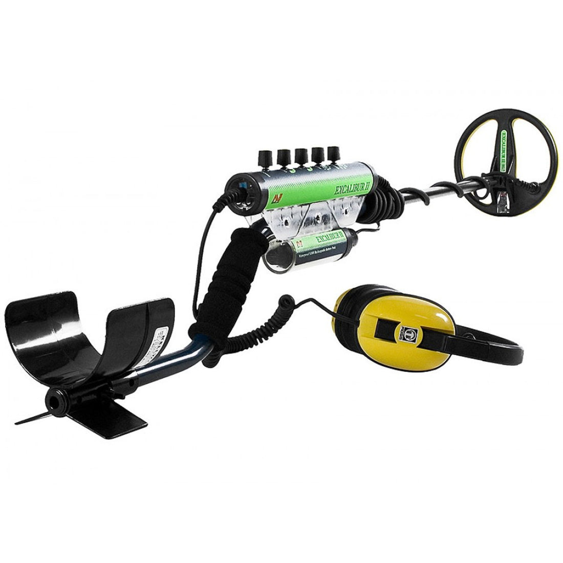
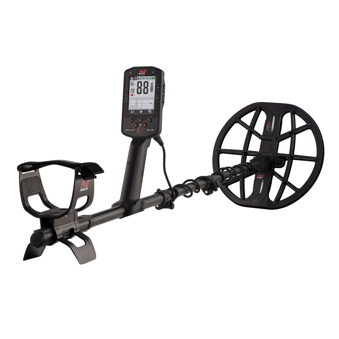
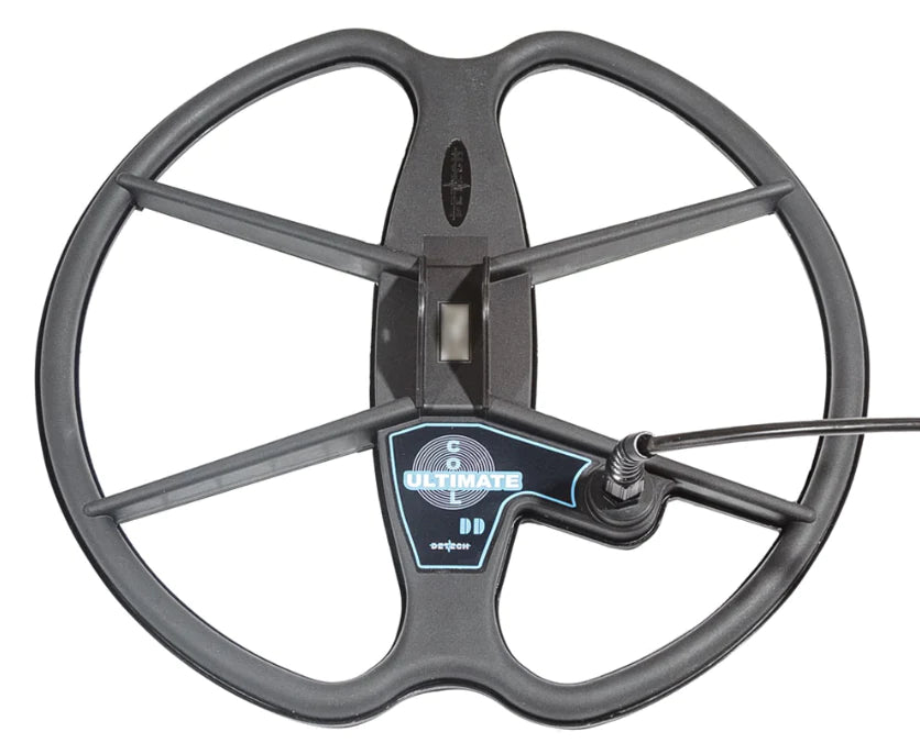
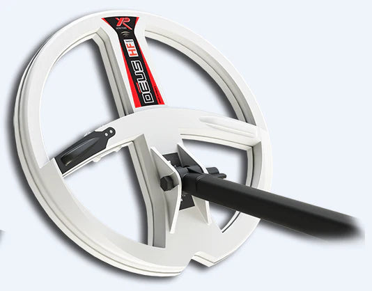
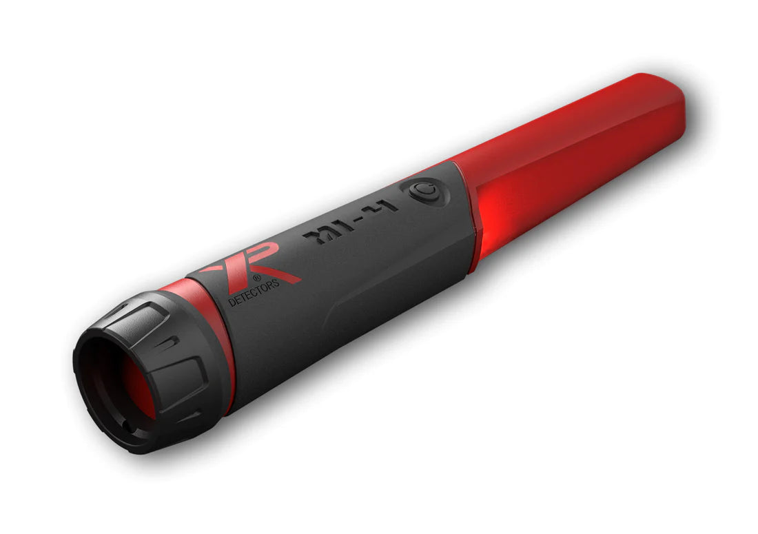
Choosing the Right Metal Detector
Most property markers will not be difficult to find with a metal detector. Generally, they are not that deep, and a large iron target is usually hard to miss for most decent metal detectors. The challenge comes when trying to locate property markers outside of any maintained land or markers that may have sunken down due to environmental conditions. Some of us may have a property that extends several acres into essentially unmaintained wilderness. Walking a straight line over rock walls, around trees, and over streams can become difficult, so relying on the map can be tough. A magnetic locator may be wise to use since it will have a significantly greater range than a standard metal detector. Magnetic locators will also ignore any nearby non-ferrous targets and really help you narrow your search to the property markers. Many of these magnetic locators are designed for tough conditions and can even hold up to light rain, making them excellent options for surveying rough terrain.
How to Use a Metal Detector to Find Property Stakes
Using the proper metal detector, you will start at one corner shown on the map and walk the proposed distance to the next corner or marker. You will sweep the detector in front of you as you walk until you locate the next property marker. In some cases, leaving a line of flags or paint on the ground can help you more easily visualize the boundary. If you plan to do some construction or plant some trees along your border, it might be beneficial to put down wooden stakes with tape marking off the edge of the property. With the edges and corners marked off, you now know the extent of your domain.
© 2020 Detector Electronics Corp. - Revised July 30, 2022